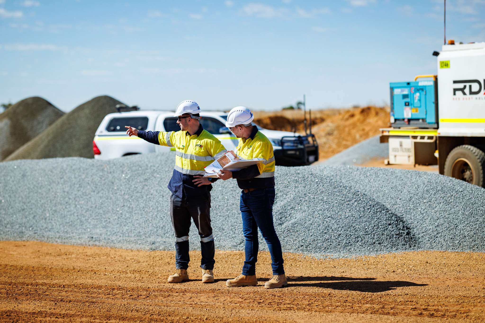
Project Quantities
We provide accurate and verified quantity reports at both tender and construction stages. With a focus on clear, data-backed reporting, our team supports cost tracking and project progress by supplying actual quantities aligned to construction activity. This ensures project managers and site teams stay informed and in control.
What we deliver:
Tender-stage verified design quantities
Construction-phase actual quantity reports
Progress tracking aligned to real-time site data
Transparent reporting for improved cost management
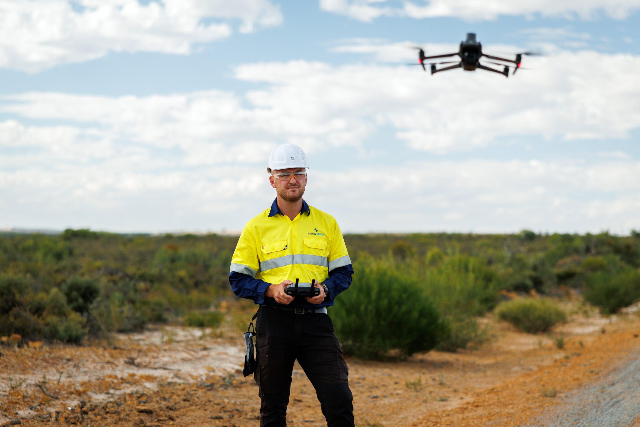
UAV & Aerial Surveying
Using cutting-edge RTK drone technology, we deliver fast, high-accuracy aerial surveys for large-scale and hard-to-access sites. Our drone capabilities support topographic mapping, 3D modelling, and precise volume tracking, helping you reduce time on site and make confident decisions with real-time data.
What we deliver:
Topographic surveys and ground surface models
Progress tracking and volumetric reporting
As-constructed drone surveys
High-resolution 3D modelling and visual mapping
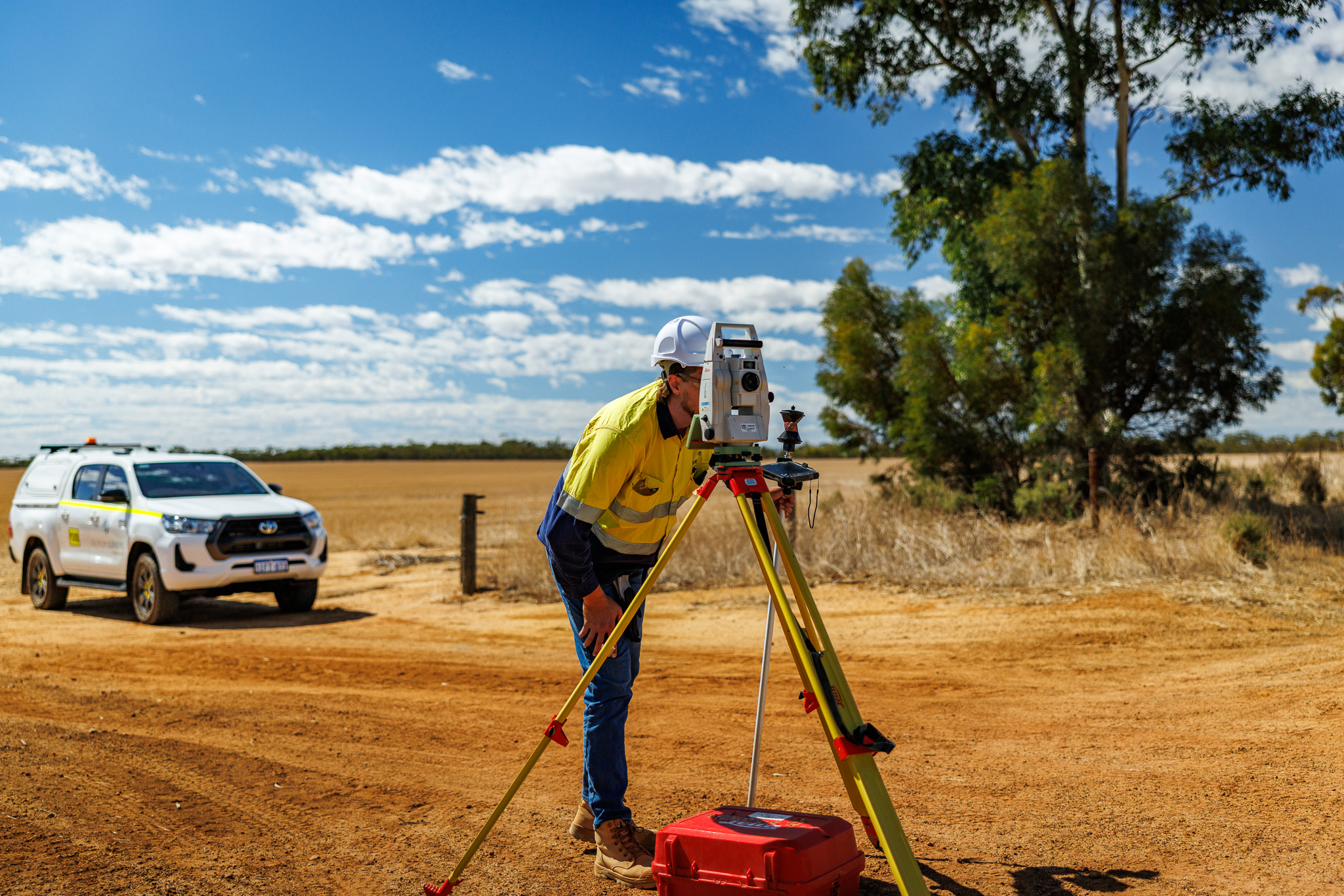
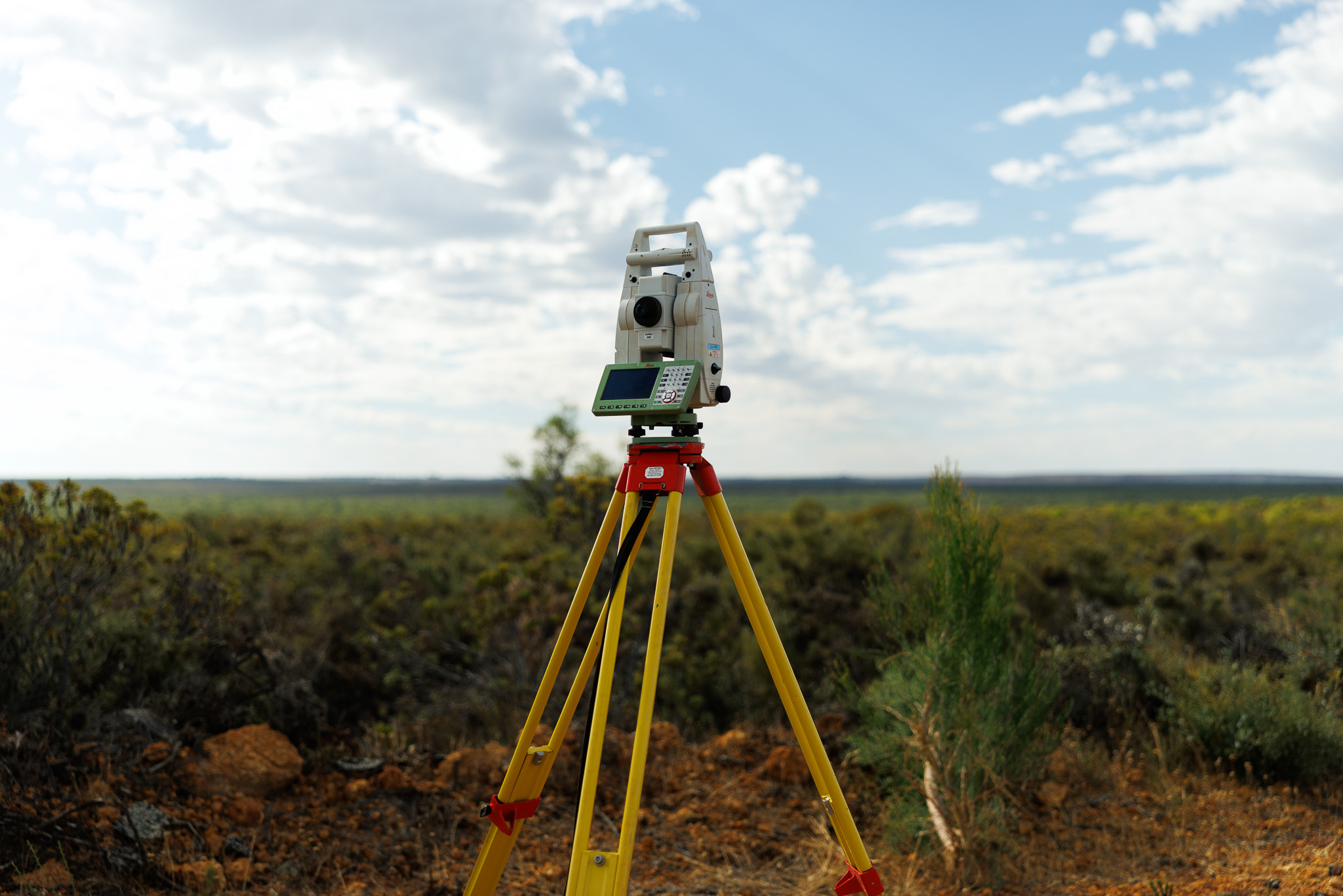
Civil & Construction Surveying
From earthworks to SMP and concrete set-out, our team brings extensive experience across major infrastructure and civil construction projects. We work closely with engineers, site managers, and subcontractors to deliver precise, efficient surveying solutions that support productivity, safety, and quality on site.
What we deliver:
Detailed earthworks surveys for cut/fill accuracy
Concrete and bolt set-out for structural foundations
SMP surveying for mechanical and structural installs
Collaborative on-site support across all project phases
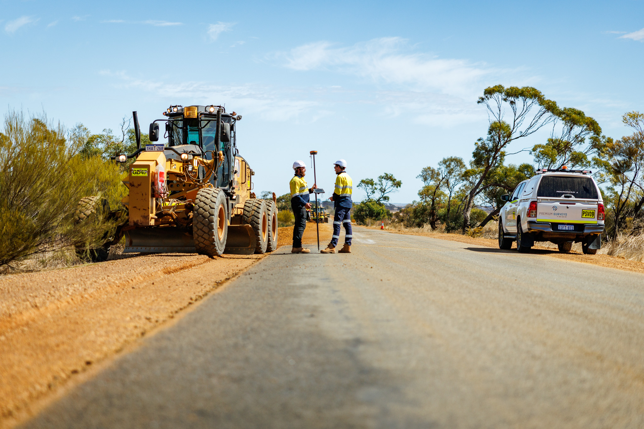
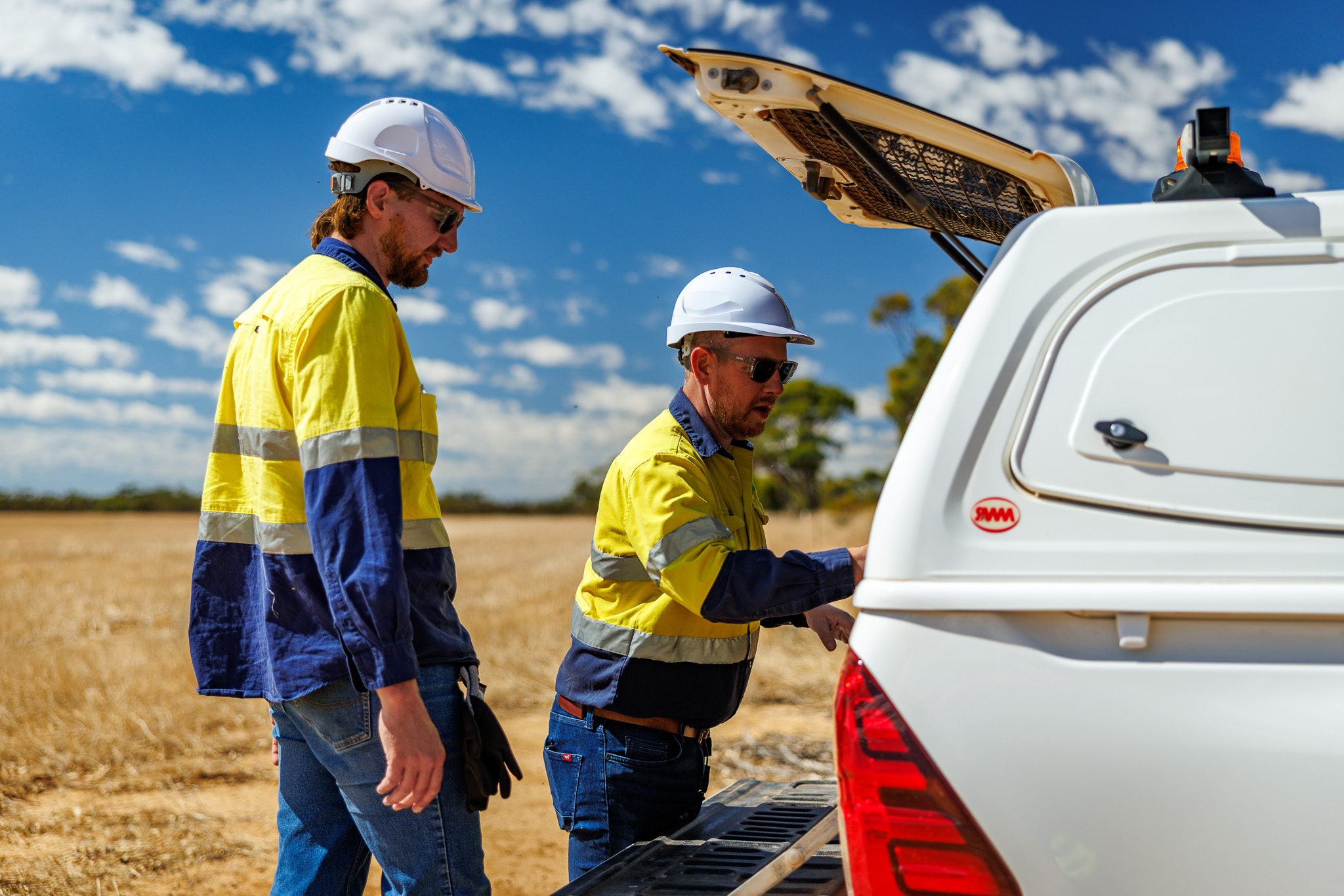
Machine Control Support
We provide end-to-end support for machine control systems on complex civil projects. Our team collaborates directly with suppliers and contractors to ensure your equipment is set up, maintained, and optimised for peak accuracy. From initial file setup to onsite troubleshooting, we keep your operations running smoothly.
What we deliver:
Initial site setup and data upload
Onsite troubleshooting and technical support
Operator training for efficient system use
Ongoing support across all project stages
Laser Scanning
Our 3D laser scanning services capture highly accurate spatial data to support detailed analysis, modelling, and verification on site. Using the latest scanning equipment, we deliver point cloud data that allows for efficient design validation, clash detection, and as-built documentation.
What we deliver:
High-resolution point cloud capture
Accurate as-built data for verification
Clash detection and dimensional control
3D modelling support for design teams
Mining Surveying
We provide specialist surveying services to support mining operations across Australia. Our team is experienced in open-cut and underground environments, delivering accurate data for design, compliance, production tracking, and reporting. With FIFO-ready crews and flexible deployment, we help keep your project moving safely and efficiently.
What we deliver:
Open-cut and underground mine surveying
Production tracking and compliance reporting
Pit and stockpile volume calculations
Flexible FIFO deployment across remote regions